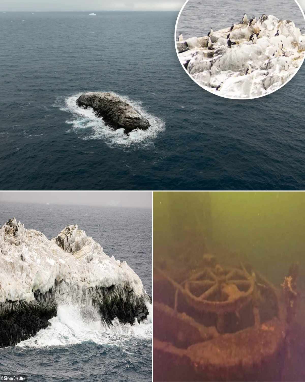
Explorers Stunned After Realizing Antarctic “Danger Zone” Was Actually a Hidden Island — Newly Mapped for the First Time
Researchers in Antarctica have uncovered what was long labeled on nautical charts as a mysterious “danger zone,” only to discover it was not a hazard at all — but an uncharted island that had never been properly mapped.
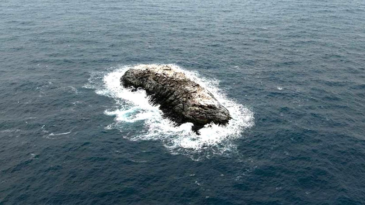
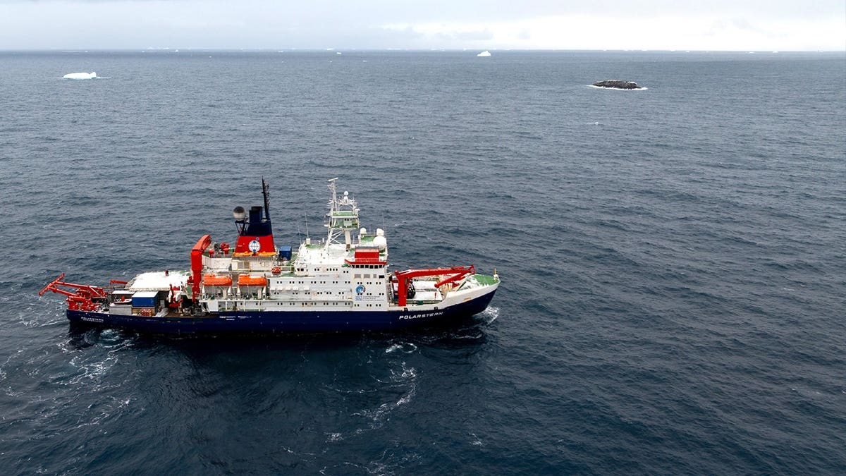
The finding was announced by the Alfred Wegener Institute (AWI), a German polar research center, following an expedition aboard the icebreaker Polarstern in the northwestern Weddell Sea.
What was once treated as an unexplained navigational risk has now been confirmed as a physical landform emerging from the icy waters.
The discovery occurred as scientists were studying the rapid decline of sea ice in the region, when severe weather forced the team to take shelter near Joinville Island. From there, the unexpected breakthrough unfolded.
According to AWI bathymetry engineer Simon Dreutter, nautical charts showed an area marked as an “unexplored danger,” with no clear origin or explanation behind the classification.
While reviewing mapping data, Dreutter initially noticed what appeared to be a discolored iceberg. But a closer look revealed something far more significant.
“It was probably rock,” he explained, describing the moment the team realized they were likely looking at an island rather than floating ice.
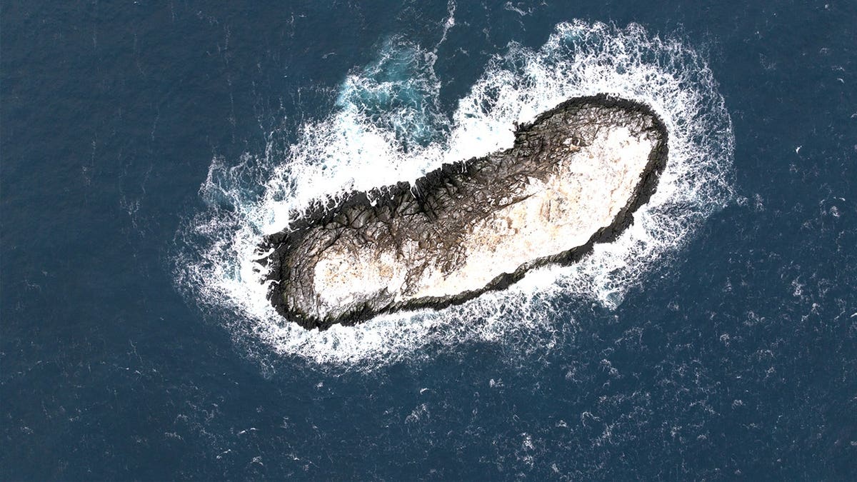
The team quickly adjusted course and approached the formation, confirming through direct observation that it was indeed a previously undocumented island.
Using echo sounders and drone-based imaging, researchers circumnavigated and surveyed the area, producing the first detailed mapping of the site.
The island measures approximately 426 feet in length and 164 feet in width, rising about 16 meters (52 feet) above sea level.
Officials say discoveries of this kind are extremely rare in modern polar exploration.
Interestingly, the reason the area was originally marked as a navigation hazard remains unclear. Researchers believe it may be linked to unpredictable underwater terrain, including rapidly shifting depths and uneven seabed formations.
AWI representatives noted that much of the region has only low-resolution satellite coverage, leaving significant gaps in nautical mapping — especially in nearshore zones where conditions can change dramatically.
Because of this, large portions of the Weddell Sea remain only partially charted, with less than a quarter fully mapped according to officials.
The newly identified island has not yet been named and will undergo the formal submission process through the Scientific Committee on Antarctic Research (SCAR).
Despite advances in satellite technology, scientists say discoveries like this prove that Earth’s most remote regions still hold surprises — and that Antarctic exploration is far from over.