Twenty-five years have passed since a team of oceanographers scanning the seafloor off western Cuba detected something that should have rewritten history. The sonar images showed geometric structures, pyramids, rectangular blocks, and linear formations, spread across a submerged plateau nearly 670 meters below the surface. No one has gone back to verify.
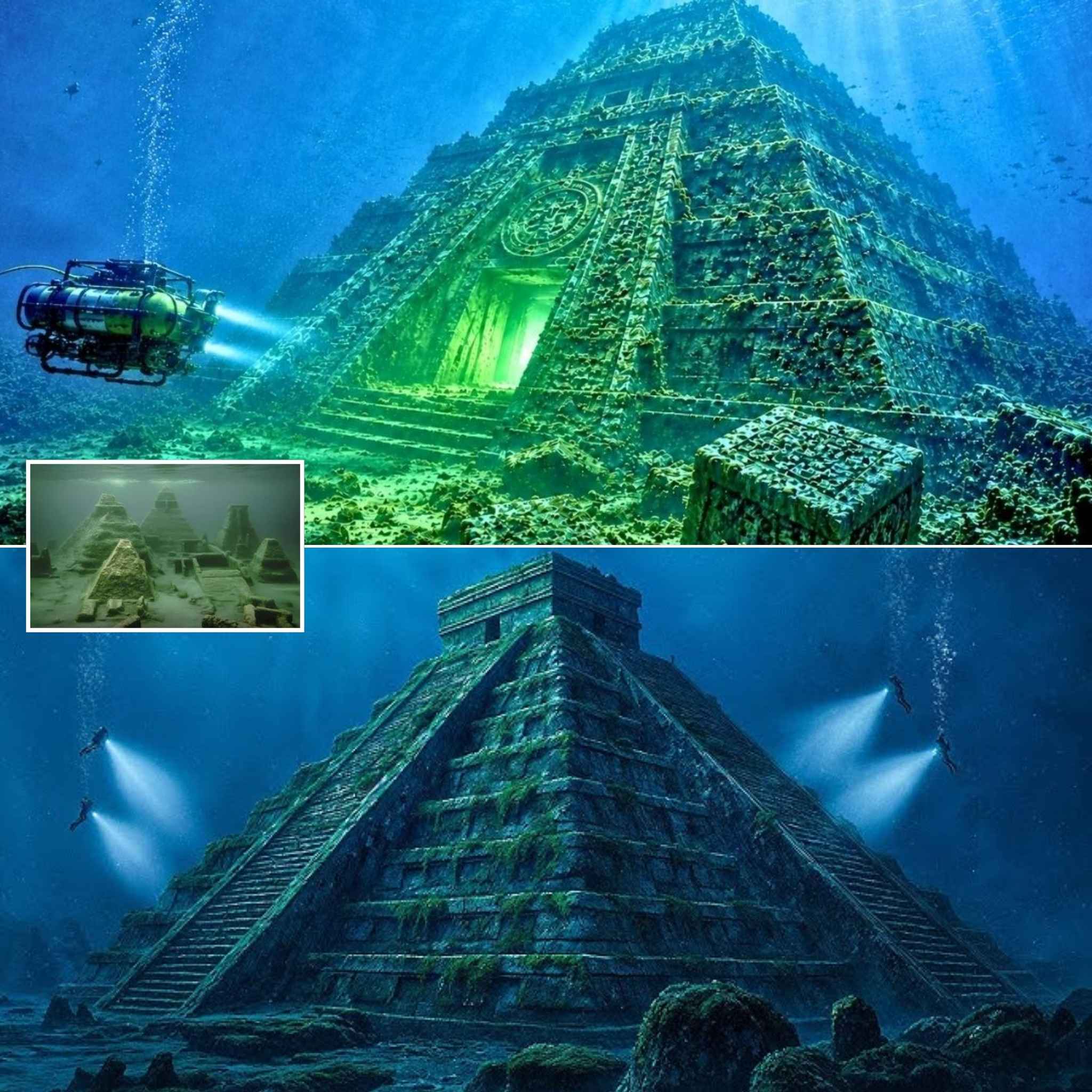
The discovery in May 2001 was made by Advanced Digital Communications, a Canadian-Cuban firm contracted to map Cuban territorial waters for shipwrecks. The company’s lead surveyor, Paulina Zalitski, an ocean engineer trained in the Soviet Union with decades of deep-sea experience, recognized the patterns immediately. She described the sonar returns as a perfectly geometric architectural ensemble. She was not given to exaggeration.
National Geographic covered the find. Reuters and the Washington Post reported it. The Cuban government confirmed the existence of the sonar imagery. A follow‑up expedition was scheduled for 2002 to capture direct video footage. That expedition did take place. A remotely operated vehicle descended into the darkness. Cameras rolled. Limited footage was used by National Geographic Television in a 2003 documentary. Then everything stopped.
Zalitski and her partner, Paul Weinzweig, gave a few interviews, then fell silent. Cuba stopped issuing statements. International researchers withdrew. For a quarter of a century, the underwater pyramids of Cuba have hung in a limbo between confirmation and denial. There is sonar data, limited video sequences, and silence. To understand why, one must grasp how profoundly disruptive this find was.
Zalitski was no amateur treasure hunter. After the collapse of the Soviet Union, she settled in Canada and co‑founded ADC with Weinzweig. Their company specialized in deep‑ocean surveys for governments, oil companies, and telecommunications firms. In the late 1990s, ADC won a contract from Cuba to chart territorial waters for lost wrecks. Cuba’s seafloor had never been systematically surveyed, and centuries of colonial navigation meant unknown wrecks could still lie waiting.
For months the work was routine. Then they reached waters near the Guanahacabibes Peninsula, the westernmost point of Cuba. The sonar revealed regular shapes between 600 and 750 meters deep. The anomalies appeared organized: pyramid forms, rectangular blocks, and linear structures resembling roads. The area spanned hundreds of meters, possibly several kilometers. The team scanned the site again. They compared the images to known geological formations. Natural processes can create strange shapes: volcanic terraces, sediment lines, coral structures, eroded limestone. But these images showed repeated angles, symmetry, and particular arrangement. Zalitski concluded the sonar had found something artificial.

Media reaction was immediate. An underwater city off Cuba sounded like a lost civilization beneath the Caribbean. The Cuban government initially welcomed the story. Scientists were assigned to examine it, including respected Cuban geologist Manuel Iturralde‑Vincent. He was cautious but did not dismiss it. He admitted the sonar showed unusual formations and called for further investigation. So in 2002, a remotely operated vehicle was sent with lights and cameras. This should have settled the question. Sonar can deceive, but video could reveal the truth. Instead, the footage created more mystery.
The public clips show dark, murky water and large, stone‑like shapes. Visibility was poor, the forms were massive but indistinct. Zalitski and Weinzweig insisted the images supported their interpretation, describing pyramids, cut blocks, and artificial construction. Skeptics disagreed. They argued the images could show natural rock, collapsed caves, volcanic formations, or eroded limestone. The footage was too blurry to prove anything. What was needed was obvious: a new expedition, better cameras, longer dives, multiple angles, and physical samples. That expedition never happened.
By 2004, interviews faded. ADC’s website disappeared. Zalitski became nearly unreachable. Weinzweig occasionally resurfaced, still defending the discovery but offering few details. Cuba stopped referencing the site. Major institutions like Woods Hole, Scripps, and national oceanographic agencies never made it a research priority. The site was never debunked. It was never explained. It was abandoned.
The reason may be the depth. The structures lie between 600 and 750 meters below present sea level. If they are artificial, they must have been built on dry land or a shallow shoreline. Humans do not build cities 800 meters underwater. Yet the last ice age lowered global sea levels by only about 120 to 130 meters. Even then, the Cuban site would have remained submerged under hundreds of meters of water. Either these structures are impossibly ancient, predating any known civilization by tens of thousands of years, or the terrain sank dramatically after construction. Both ideas present problems.

Western Cuba is tectonically complex, but submerging a land mass by hundreds of meters would require a catastrophic event or prolonged subsidence far beyond what Caribbean geology can reasonably admit. Iturralde‑Vincent acknowledged that evidence for such massive collapse was thin. This is the crux: the site is too deep. Too deep for glacial sea‑level changes. Too deep for known human history. Too deep for documented regional tectonics. And that may be why science turned away. If the structures were natural, they were unusual but not revolutionary. If artificial, they threatened the accepted timeline of archaeology and geology. Faced with that choice, institutions chose silence.
The immediate comparison was the Bimini Road. In 1968, divers near Bimini in the Bahamas discovered a line of rectangular stone blocks in shallow water. Some saw proof of a lost civilization. Official geology saw a natural formation of beach rock. The debate never fully ended. The Cuban site entered the same zone of controversy, but with a much bigger problem. It was far deeper, harder to study, and easier to link to Atlantis. Once Atlantis entered the conversation, serious researchers had an extra reason to stay away.
Conventional archaeology avoids speculation about Atlantis because it has been tied to pseudo‑archaeology, ancient astronaut theories, and fringe hypotheses. Studying the Cuban site could jeopardize professional credibility. So the discovery faded. A few independent researchers quietly continued. They re‑examined the sonar with new tools and claimed the geometry still seemed difficult to explain naturally. Some reviewed the 2002 footage frame by frame and believed they saw fitted blocks, carved surfaces, and architectural elements. But none of that became peer‑validated proof. No major institution committed to returning. No definitive imagery was captured.
Zalitski’s silence remains one of the strangest elements. Early on, she spoke confidently about future research. Then for two decades, almost nothing. Weinzweig later suggested that politics, US‑Cuba tensions, and partnership difficulties played a role, but no full explanation emerged. Cuba’s silence was equally strange. In 2001, officials saw it as scientific prestige and global attention. Then the site vanished from official discourse. Some believe pressure came from institutions or political actors. Others suggest the 2002 footage showed something too complex to explain. There is no evidence for either.

The implications remain. If these structures are artificial, one of two things must be true: either human civilization is far older than believed, or catastrophic land subsidence can occur at scales modern geology does not fully recognize. The first would rewrite archaeology. The second would challenge the geological models used to assess coastal stability and seismic risk. That is why the Cuban site is more than a mystery. It is a threat to established certitudes. If cities can vanish beneath the sea, if inhabited land can sink hundreds of meters, then modern coastal cities are not as safe as we assume. Miami, New York, Tokyo, Shanghai, Mumbai all rest on the belief that the ground beneath them will remain stable.
The sonar images from Cuba remain the strongest evidence. They have not been explained. They have not been refuted. They have simply been ignored. Today, underwater robots could capture far clearer images than anything available in 2002. The coordinates are known. The technology exists. The 2002 footage likely still exists. The original sonar data may still be archived. What is missing is the will.
For 25 years, these structures have waited in the cold, dark, crushing waters off western Cuba. If they are a natural phenomenon, they constitute an extraordinary geological formation left unexplored. If they are artificial, they could be one of the most important archaeological discoveries ever made. Either way, the silence has become the heart of the story. Twenty‑five years without returning. Twenty‑five years without asking questions. Twenty‑five years letting one of the most controversial sonar discoveries in history dissolve into rumor.
The underwater pyramids of Cuba still rest where Paulina Zalitski found them in 2001. They have not moved. They have not changed. They sit on a deep plateau, beyond the reach of divers, waiting for someone to go back. The question is whether that will ever happen. Because if these structures are natural, they reveal something strange about the Caribbean seafloor. But if they are artificial, they could reveal something far more unsettling: that history is older, that the Earth is less stable, and that some lost worlds may not be legends at all. The silence of a quarter century is no longer acceptable. The equipment exists. The coordinates are known. The only missing element is the courage to confront what may lie beneath.